
Duarte ZIP Codes and Their Reach
A ZIP code is a routing label used by the United States Postal Service. It can identify a mailing area, but it is not the legal boundary of an incorporated city. The ZIP code directory below states what the research supports and marks the places where a real address check is required.
| ZIP | Areas Covered | Post Office | Notes |
|---|---|---|---|
| 91010 | Primary Duarte mailing ZIP; most city residences and businesses | Duarte Post Office, 1220 Highland Ave, Duarte, CA 91010-9998 | (626) 256-6043; postal label does not prove city limits |
| 91009 | PO Box or unique Duarte-associated ZIP | Verify individual address in USPS ZIP Lookup | Research did not verify it as a residential ZIP |
| 91008 | Duarte or Bradbury-associated mailing geography in some datasets | No Duarte retail station verified | Exact city and ZIP intersection needs address-level verification |
The Duarte Post Office listing identifies the 91010 station and services. The ZIP code directory should use it for a specific mailing clue, then hand street-level work to the parcel map and the Duarte street directory.
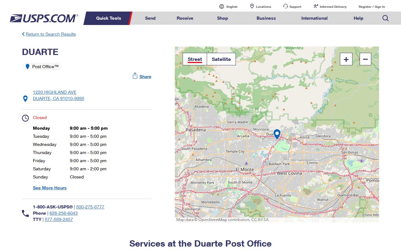
The postal-station view anchors 91010 as a mailing service, while the parcel map supplies the legal geography that USPS does not promise.
Duarte 91010 Primary Mailing ZIP
Most Duarte residences and businesses use 91010 in the primary mailing pattern documented by the research. A 91010 line is useful for sorting a name search, finding the right post-office service, or narrowing an unclaimed-property query. It remains a mailing clue. A postal city line can sit near a municipal or unincorporated edge, and institutional routing can complicate the apparent location.
For a known address, enter it in USPS ZIP Code Lookup and preserve the returned city, state, and ZIP exactly. Then compare the same address with the Los Angeles County Assessor Portal, where the AIN, situs, parcel shape, and map context answer the jurisdiction question. If the two layers appear to conflict, ask Duarte Community Development or the county assessor rather than guessing from the ZIP.
A ZIP code directory entry should therefore carry both labels: “mailing ZIP” and “municipal parcel location.” They often align, but the distinction protects family, property, and civic research from a false boundary claim.
Duarte ZIP Lines and City Limits
ZIP Codes route mail. Duarte's incorporated boundary is a legal and planning question. A postal “Duarte, CA 91010” line does not by itself prove that a parcel lies inside the city, just as a nearby parcel with another postal label is not automatically outside the local research area. ZIP code directory work needs a second geography source.
Boundary check. Use USPS to verify delivery routing and the Los Angeles County parcel or Duarte zoning map to verify physical and municipal context. Keep the two answers in separate fields.
The distinction matters for permits, zoning, city requests, taxes, and records custody. A city clerk can answer a municipal file question. The county assessor can answer a parcel question. USPS can answer whether an address is assigned to a ZIP. None of those offices should be treated as the other office.
Duarte Address Verification by ZIP
A ZIP-level search is most useful when it ends in an exact address check. The process below joins the mailing and parcel systems without pretending that either is a resident directory.
- Enter the complete street address in USPS ZIP Code Lookup and save the returned ZIP and postal city.
- Enter the same address in the Los Angeles County Assessor Portal and save the AIN, situs, parcel map, and assessment effective date.
- Compare the postal city with the mapped municipal context, watching for edge, campus, or unincorporated geography.
- If an ownership question remains, carry the AIN and known name to the RR/CC deed process.
- If the goal is a named person, switch to a records comparison rather than collecting every address that shares the ZIP.
This two-source pattern is the core of a sound ZIP code directory. It also prevents an old ZIP from being treated as proof of a current household address.
Duarte 91009 and 91008 Checks
The research identifies 91009 as a PO Box or unique Duarte-associated ZIP, but it does not verify it as a residential ZIP. It also identifies 91008 in Duarte or Bradbury-associated mailing geography in some datasets, while leaving the exact city-limit intersection unresolved. Do not describe either one as a citywide residential zone without current USPS or authoritative GIS confirmation.
For a 91009 or 91008 clue, use the individual address in USPS Lookup, then examine the parcel and zoning context. Record whether the address is a street delivery, PO Box, business, campus, or other routing type if the official result makes that clear. A ZIP is a filter for follow-up, not a final place identity.
Note: Research gaps about ZIP boundaries are a reason to verify each address, not a reason to fill in an unsupported map.
Duarte Unclaimed Property by ZIP
California's official ClaimIt service is the clearest ZIP-capable name search in the research. It requires Last or Business Name or Property ID. First Name, City, and ZIP are optional. Exact name matches appear first, then similar names. A result can suggest a former Duarte connection or reported owner address, but it is not a current residence record.
| Required field | Last or Business Name, or Property ID. |
|---|---|
| Optional name | First Name for a narrower match. |
| Optional geography | City and ZIP can narrow the result list. |
| Result order | Exact name matches appear before similar names. |
| Meaning | Reported property association or lead, not proof of present residence. |
The ClaimIt search fields show how a ZIP can narrow a state database while still requiring identity and custodian checks.
Search directly at California ClaimIt. The service is free, and a private fee is not needed simply to check the state's database.
Duarte Assessor Is Not ZIP-Wide
The Los Angeles County Assessor Portal is address and AIN first. Its public landing interface does not document a ZIP-wide owner search. Map Search can bound an area visually, but it should not be described as a download of everyone in 91010. The parcel map provides legal and assessment geography, not a bulk household list.
Use the assessor after the ZIP narrows the clue to a full address. Save the situs and AIN, then inspect adjoining parcels only when the question is street or block context. The assessment effective date matters because a recent recording may predate a roll refresh. A current ZIP match cannot cure an outdated parcel snapshot.
Duarte Address Layers Explained
Several location terms appear in a ZIP code directory and each has a distinct meaning.
- ZIP Code
- A USPS routing area used to sort and deliver mail.
- ZIP+4
- A more specific postal extension for delivery routing; it is not a parcel boundary.
- PO Box or unique ZIP
- A ZIP associated with a box, institution, or special routing pattern rather than a normal residential grid.
- Situs address
- The physical location of a parcel in the assessor system.
- Mailing address
- The place where an owner or agency receives correspondence.
- AIN
- The county's Assessor Identification Number for a parcel.
Legal description, tract, lot, and block are the continuity tools for older property work. Postal labels can change or cross a boundary while a legal description continues to identify the land.
Duarte Rancho Parcels to 91010
Duarte's mailing geography sits on a much older land story. The 1841 Rancho Azusa de Duarte grant to Andrés Duarte came before modern streets, and by 1872 much of the remaining rancho land had been divided into 40-acre parcels. Early names, water rights, tract descriptions, and later subdivision language may not resemble a current ZIP code at all.
That history explains why a ZIP code directory should not be the first or last tool in a previous-residents search. Use the ZIP to orient the modern mailing clue. Use the assessor and legal description to identify the parcel. Use the recorder or Bradbury Land Papers to reach older land records. Use directories, newspapers, census schedules, and permits to bring people back into the story.
Duarte City of Hope Geography
Duarte's foothill and Huntington Drive corridor context includes large and institutional parcels, with City of Hope planning context involving Duarte and Irwindale. A ZIP code may make the area look simple while a parcel map shows campus, district, or edge conditions. Postal city, municipal jurisdiction, and institutional campus should be checked parcel by parcel. The county voter-information request guidance illustrates the limits of ZIP-based access.
For a ZIP code directory search near a large campus, keep the address, parcel, and ZIP in separate fields. Ask the city about zoning or right-of-way matters, the assessor about parcel context, and USPS about delivery assignment. Do not infer a resident or household from an institutional address.
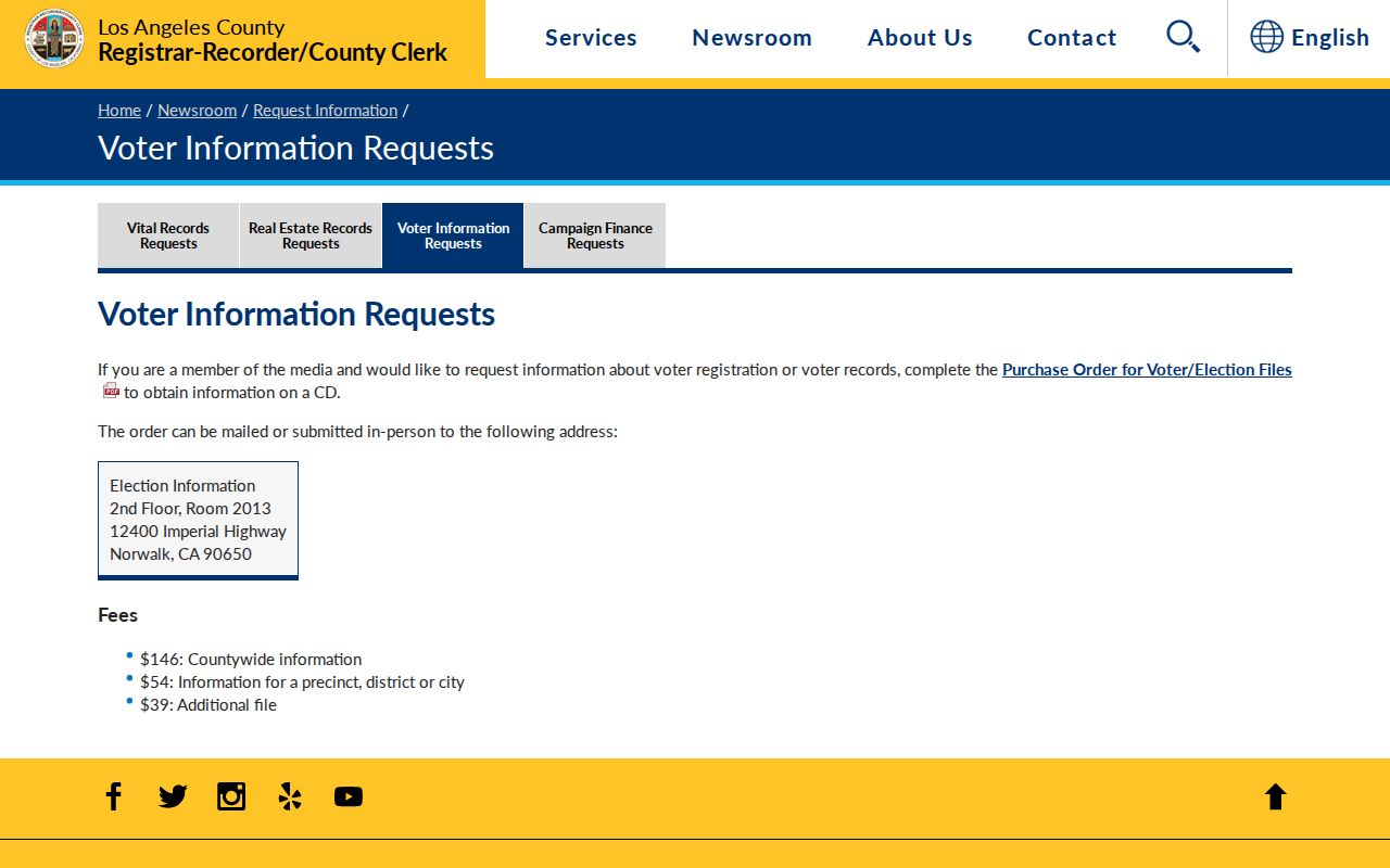
The county voter-information route is another reminder that ZIP can be a required field without opening a ZIP-wide resident list.
Duarte ZIP Privacy Limits
California voter information, DMV data, Safe at Home addresses, sealed court categories, and confidential vital records remain protected even when a ZIP is known. A ZIP Code is not permission to enumerate households. Use a known address or name for a lawful personal question, and stop when the official system does not provide the record.
Safe at Home supplies qualifying participants with a substitute mailing address and forwarding service. A postal search may therefore return the program address rather than the person's true location. A blank result may reflect protection, a spelling issue, or a record gap. It does not prove that a person is not connected to Duarte.
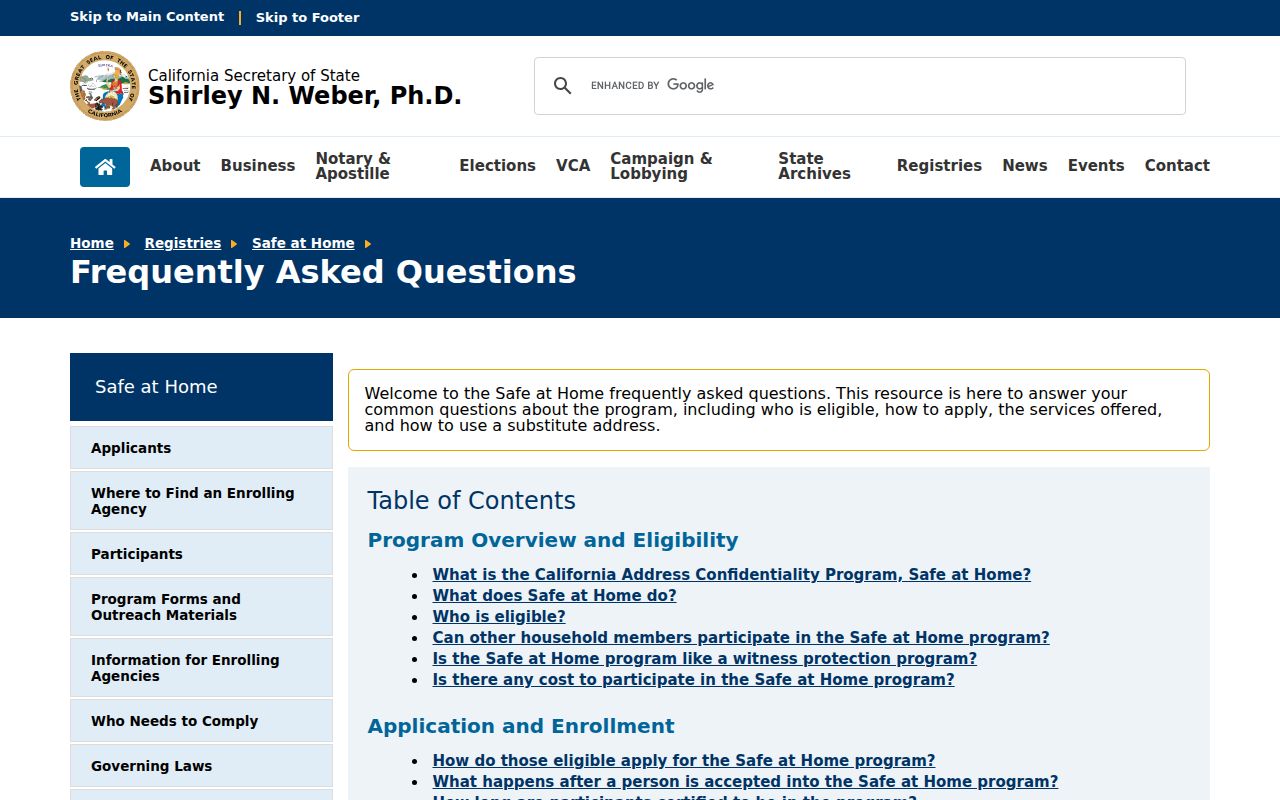
The Safe at Home guidance shows why ZIP-level research must respect substitute-address protections and should never be used to pursue a protected person.
A separate California public registry service is not a resident directory; its inclusion here reinforces that a location field does not make a state tool a neighborhood list.
The California public registry service view reinforces that a location field does not make a state tool a neighborhood list.
Lawful use. ZIP records are for personal research, family history, civic context, and a known address check. Do not use a ZIP, parcel, or directory result to stalk, harass, threaten, or harm anyone.