
Walk a Duarte Street by Record
The most reliable street directory workflow starts with one complete address. The Los Angeles County Assessor Portal accepts the situs address or AIN and places the parcel on a map. From there, record the AIN, legal or tract context, and the displayed assessment date. Use the map to click adjoining parcels and the parcels across the street. A street list built this way is a parcel worksheet, not a list of every person at every door.
Once a current owner or recorded party is known, move to the RR/CC name-and-year index in Norwalk. The recorder does not offer an Internet address key. A historic street directory can reverse the direction for older years by listing house numbers and adult occupants. A Duarte City Clerk request can add permits, applicants, contractors, work dates, and inspections.
- Enter the full address in the Los Angeles County Assessor Portal, then save the AIN and situs wording.
- Use Map Search to click parcels that share a boundary or sit across the street, noting large, flag, condominium, and institutional parcels.
- Separate the owner mailing address from the physical situs and keep both in different worksheet columns.
- Take the current party name and likely purchase year to the Norwalk grantor and grantee index.
- For older occupants, scan a Heritage Room street section and then verify the name in its alphabetical section, census, newspaper, or probate trail.
This sequence gives the Duarte street directory its proper meaning: a way to organize address-keyed evidence, not a promise of a complete resident roll.
Duarte Street Addresses and AINs
AIN means Assessor Identification Number. It is the county parcel key that helps keep a street address tied to the right assessment record. The portal offers three modes: Basic Search, Legal Search, and Map Search. The required search control is labeled “Search by AIN or Address.” Search by address when the street clue is known. Search by AIN when a deed, permit, or prior worksheet already supplies the number.
| Basic Search | Main lookup mode for a situs address or AIN. |
|---|---|
| Legal Search | Useful when the legal description, rather than the street number, is the key. |
| Map Search | Pan and click parcels to read adjacent geography. |
| Address or AIN field | Autocomplete or text entry; required for a parcel result. |
| Records effective date | Shows when the public assessment snapshot took effect. |
The assessor record can show situs, AIN, mapped parcel, assessment values or property context, and links to map functions. The public landing interface does not advertise an owner-name field. A mailing address may belong to a different property, a PO box, or a trust. Renters and other occupants do not appear simply because they live at the parcel.
For a visual example, the official sample Los Angeles County parcel detail shows the kind of address-keyed route used in a street directory.
The sample parcel view is a starting point for mapping a street, not a resident roster.
- Parcel
- A mapped unit used for assessment and legal property description.
- Situs address
- The physical location being assessed, distinct from a mailing address.
- Plat
- A recorded map that can preserve lot, block, tract, and adjacency when street numbers shift.
Duarte Parcels Along One Street
Map Search supports a street-by-street pass. Enter the subject address, zoom until parcel lines are clear, and click each shape that shares a boundary. Then inspect parcels across the street. Record the AIN and situs for every clicked result, along with any lot, block, tract, zoning, fire-hazard, hydrology, or district context the map exposes. Those layers explain geography. They do not name a household.
Aerial images and fences can disagree with legal parcel lines. A condominium may place many households inside one ownership parcel. A large campus parcel can make the nearest visible structure a poor guide to the nearest legal parcel. City of Hope and the foothill-to-Huntington Drive pattern are local reasons to inspect the map rather than assume that “next door” means one small lot.
For each selected parcel, ask what question remains. If the question is title, move to the recorder. If it is construction history, use a City Clerk request. If it is zoning, consult the Duarte zoning map and Development Code. If it is a past occupant, use a reverse directory or local newspaper instead of stretching the assessment card.
Note: The map can show adjacency with precision while still saying nothing about who currently lives inside a structure.
Duarte Situs and Mailing Address
“Situs” identifies the physical parcel. A mailing address identifies where assessment correspondence goes. They often match, but a mailing address can point to another property, a PO box, a trust, a manager, or a service address. This distinction matters in a Duarte street directory because a named owner on a parcel card is not automatically a current occupant.
Keep a three-part note for each parcel: situs, AIN, and mailing context. Add the legal description if it appears. The legal description may use tract, lot, and block terms that persist after a street is readdressed. It is a stronger continuity key than a house number alone. Homestead language also needs care in California. It is not a definitive, comprehensive public owner-occupancy flag.
If a name appears in a deed, a court case, or a municipal permit, describe the relationship precisely. “Recorded grantee,” “case party,” “permit applicant,” and “assessment mailing recipient” each mean something different. A street directory becomes more accurate when the record role stays attached to the name.
Duarte Records Searchable by Street
Several records can be reached from an address, but their keys and limits differ. The coverage table keeps the street directory grounded in the actual Los Angeles County and Duarte workflows.
| Address Source | Keeper | Street Value | Access |
|---|---|---|---|
| Assessment parcel | LA County Assessor | AIN, situs, assessment context | Free address/AIN web search |
| GIS map | Assessor Portal | Adjacent parcel geometry and map context | Free interactive map |
| Recorded deed | RR/CC Recorder | Ownership chain and legal description | Name/year index in Norwalk |
| Permit file | Duarte City Clerk | Applicants, contractors, work and inspection dates | Focused request |
| Reverse directory | Monrovia Heritage Room | Historic adult occupants in number order | In-person, volume dependent |
| Voter information | RR/CC Elections | Registration match or authorized file | Restricted purpose and fields |
The AIN can tie the assessment card to a recorded map or a permit request. A street name can help locate a historic directory entry. The keys do not merge into a single open list. That is why the address angle needs a chain rather than one result screen.
Duarte Deeds from Parcel to Chain
Los Angeles County's recorder index is arranged by grantor, grantee, and year. A grantor conveys an interest; a grantee receives it. The public Internet cannot accept a Duarte street address for exploratory deed research. The office keeps 1851 through 1957 material on the lower level in Norwalk and 1958 through the present on the second floor. Appointments are part of the in-person path.
- Save the current AIN, situs, legal description, and any known owner or document number from the parcel trail.
- Search the likely current grantee in the recorder's name-and-year index, allowing for initials, variants, and entity names.
- Write down the grantor, recording number, year, book and page, and legal description from the matching index entry.
- Search that earlier grantor as a prior grantee, moving one conveyance back at a time.
- Order a known document through the county's online, mail, fax, or counter request route when the instrument is identified.
The recorder index-access instructions explain the offline arrangement. The complete recorded document can contain vesting names, legal description, execution and recording details, signatures, notarial acknowledgment, and return information. It is still an ownership record, not a finding that a person resides there.
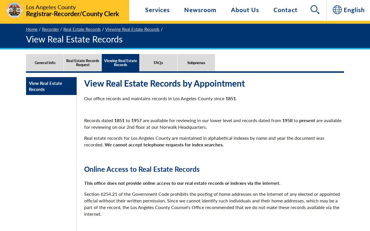
The recorder explanation shows why a street directory must change from address search to person-and-year search at the county counter.
Note: Known-document copies can be ordered remotely, but the county does not perform an exploratory address search by telephone.
Duarte Permit Files Add Work Dates
Duarte has no advertised public address-search permit database. The City Clerk's Laserfiche Document Center covers posted records, while a Public Records Request Form is the route for files that are not online. Building files can name an owner, applicant, contractor, project, date, inspection, or alteration. They add a work timeline to a parcel, but they do not establish continuous occupancy.
Make the request narrow. Include the exact street address, AIN if known, approximate permit date, project type, and any owner or applicant name. Ask for an application, issued permit, plan-card chronology, inspection signoffs, and certificate of occupancy, subject to plan-security and copyright limits. Public Works also handles right-of-way and transportation permits, which can connect a contractor or applicant to a location.
A March 2025 Duarte cultural-resource study records a useful local example: consultants asked the City Clerk for all permits for a subject property, and the returned records confirmed alterations over time. The county copy-request guidance and the Duarte permits page are the places to check current document and project contacts before sending a request.
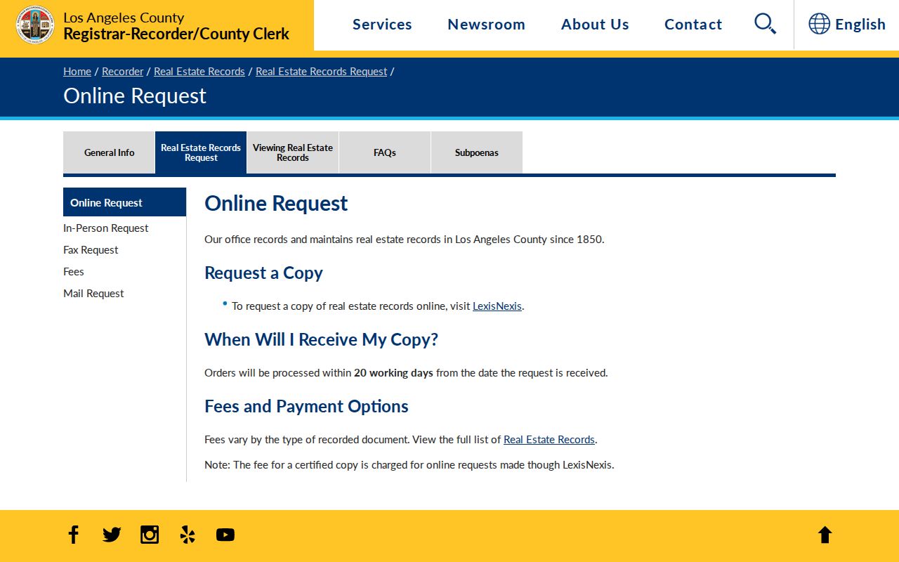
The county copy-request view belongs in the same address chain because a permit or assessment clue may identify the document needed next.
Duarte Reverse Directories and Occupants
For historic street work, the Monrovia Public Library Heritage Room is more useful than a generic current directory. Its incomplete city and telephone directory run spans 1908 through 1971. A volume with a street or reverse section can list house numbers in order and place an adult occupant or business opposite each number. The same volume's alphabetical section can then confirm spelling, spouse notation, occupation, and address.
Duarte is often hidden inside Monrovia or Monrovia-Arcadia titles. Verified catalog years include combined volumes for 1924, 1925, and 1928, with standalone Duarte listings for 1937, 1939, 1944, and 1948. Check the printed abbreviation key because “h,” “r,” “wid,” and occupational marks vary by publisher and year. A missing name can mean a move, nonresponse, a child, a boarder, or a gap in the run.
Old newspaper runs can fill the spaces between volumes. The Heritage Room's named runs extend from the Monrovia Planet in 1886 through the Monrovia News Post in 1992, with missing dates. Obituaries, sale notices, permits, marriages, and social news can explain a move. The full collection story belongs with the Duarte city directory collections, while the street directory uses it as one step in an address trail. When the goal shifts from a whole street to one person, use the Duarte resident lookup workflow.
Duarte Tracts Bridge Street Gaps
No authoritative Duarte-wide street-renumbering chronology was verified in the research. Do not assert that a particular street changed number in a particular year. Instead, bridge an uncertain address with AIN, tract, lot, block, cross streets, legal description, and the street section in an older directory.
Duarte's land history makes that caution practical. The 1841 Rancho Azusa de Duarte grant and the division of much remaining rancho land into 40-acre parcels by 1872 predate modern street grids. Early deeds and newspapers may use a rancho name, landowner, subdivision, or water-right description rather than a 91010 address. The Huntington Library Bradbury Land Papers, dated 1855 through 1933, preserve deeds, title material, mortgages, leases, and water rights that can fill this gap.
- Legal description
- The tract, lot, block, or metes-and-bounds language used to identify land in a deed.
- Chain of title
- The linked sequence of recorded conveyances from one owner to the next.
- Criss-cross directory
- A reverse directory arranged by street and number rather than surname.
When the number looks wrong, search the legal identity first and the street wording second. That method protects a previous-residents search from ending simply because a road label changed.
Duarte Voter Data and Streets
The Los Angeles County voter verification form requires last name, birthdate, residence house number, and ZIP Code. It is a self-check, not a public browse of registered voters along a Duarte street. Home address, telephone, email, precinct number, prior registration, identifiers, and signature have statutory confidentiality limits.
The RR/CC voter-file order process asks for the applicant, requested geography or file, purpose certification, and agreement to restrictions. The research reports published fees of $146 countywide, $54 for a precinct, district, or city, and $39 for an additional file. A certified registration-copy form has its own fields and prices. These channels are not a way to assemble an ordinary public street directory.
A public report of registration can supply dated city or precinct totals without exposing household identities. A failed self-check may result from changed details or a typing error. For a known person, use the form as one limited confirmation and compare it with a deed, court, vital, business, or historical record.
What Duarte Street Records Leave Out
Address records do not show every renter, child, household member, visitor, utility customer, delivery customer, or DMV address. A historic directory may omit people who did not respond, boarders, recent movers, and many renters. A permit names people connected to work, not everyone in the structure. An owner mailing address is not an occupancy statement.
Lawful use. Duarte street and address records support personal research, property history, genealogy, and ordinary civic curiosity. They do not authorize stalking, harassment, intimidation, repeated unwanted contact, or surveillance. California Penal Code section 646.9 and voter-data rules place real limits on misuse.
Safe at Home participants receive substitute-address treatment, and protected records may be withheld under California law. The federal Driver's Privacy Protection Act restricts personal DMV data. If a public record is wrong, contact the assessor, recorder, court, licensing board, city clerk, or other custodian that created it. A commercial directory or search result cannot overrule the official record.
Note: A street directory is strongest when it states the record role clearly and leaves private household facts out.