
Map Duarte Neighbors by Parcel
A block lookup begins in the Los Angeles County Assessor Portal. Enter a complete address, confirm the situs and AIN, zoom until parcel lines are clear, and click the parcels that share a boundary or sit across the street. Record each AIN, situs, legal or tract context, and assessment effective date. The result is a map of parcels around a subject address, not a public list of every neighbor.
| Source | What It Shows About a Block | Access |
|---|---|---|
| Assessor Map Search | Parcel boundaries, situs, AIN, and map context | Free interactive portal |
| Assessment detail | Dated property and roll context for each clicked parcel | Free address/AIN search |
| Duarte zoning map | Land-use mix and development-code context | Free city map and code |
| Recorded deed chain | Legal parties and land descriptions | Norwalk name/year index |
| Directory street section | Historic adult occupants in number order | Heritage Room, volume dependent |
| Permit file | Projects, applicants, contractors, and work dates | Focused city request |
| Voter statistics | Aggregate city or precinct totals | Public reports, not household identities |
The block value of each source is different. A parcel map can show who owns a legal unit when a recorded document is found. A directory can show who was listed at a number in an old year. A zoning map can explain why a campus, hillside parcel, or corridor lot looks unlike the next house.
Walk Outward from a Duarte Parcel
The adjacent-parcel method keeps a Duarte neighbor lookup tied to visible legal geography. Start at the subject address, then move outward in small steps. Note parcels sharing a boundary, parcels across the street, flag lots, condominiums, and large institutional shapes. Do not assume that the nearest building is the nearest parcel or that a shared fence marks the legal line.
- Open the LA County Assessor Portal and search the complete address.
- Save the subject AIN, situs, map position, and effective date.
- Pan and zoom until parcel outlines are distinct, then click each adjacent or across-street parcel.
- Keep owner, mailing address, situs, and occupant clues in separate worksheet fields.
- Use the county recorder, permit request, historic directory, or public community contact only for the question that remains.
City of Hope is a local campus context that can make the nearest-neighbor idea misleading. Duarte also runs from foothill and hillside parcels toward the Huntington Drive corridor. Parcel size and use must be read before defining who the neighbors are. The Los Angeles County RR/CC service identifies the relevant record custodian.
The county service view points to the record custodian, while the assessor map supplies the block geometry.
Duarte Parcel Owners and Neighbors
An assessor parcel can associate a person or entity with property and assessment mailing context. A deed can identify a recorded party. Neither source lists every person who lives inside a structure. Renters, children, visitors, and other household members are not added to a parcel record simply because they are nearby.
Use careful labels: “owner of record,” “grantee,” “mailing recipient,” “permit applicant,” and “historic directory occupant.” A mailing address may be elsewhere. A trust, manager, or organization may appear in a property record. A campus or business parcel may have many people connected to it without being a household.
For a current person question, the Duarte resident lookup workflow compares names and dates across independent records. For a whole named street, use the Duarte street directory address chain. The neighbor page stays with the immediate block and its public context.
Note: Ownership is a parcel fact; occupancy is a separate question that often cannot be answered from public address records.
Duarte Streets, Tracts, and Boundaries
A block is a visual idea, while a parcel map is a legal and assessment layer. Lots across the road may sit in another tract, planning area, or jurisdiction. Flag lots and condominiums can break a simple house-number sequence. The city zoning map can add land-use context, but it does not turn zoning into a resident list.
Duarte's postal and municipal layers can also diverge. A Duarte mailing line, ZIP 91010, or nearby Bradbury-associated label does not by itself settle the incorporated boundary. Use the full address in USPS and compare it with the county parcel map and Duarte Community Development sources. This is especially important near large parcels, corridors, or the City of Hope campus.
A careful neighbors worksheet therefore stores the street view, parcel view, postal view, and municipal view as related but separate observations.
Duarte Voter Data and Block Lists
Los Angeles County voter verification requires last name, birthdate, residence house number, and ZIP Code. It is designed for a known voter to check supplied details. It does not allow ordinary users to browse registered neighbors by street or ZIP. Home address, phone, email, precinct number, prior registration, identifiers, and signatures have confidentiality limits under California Elections Code sections 2188 and 2194.
The RR/CC election-file order route requires a purpose certification, requested geography or file, applicant information, and agreement to statutory restrictions. Public registration reports can provide city or precinct totals, but those statistics do not identify households. A failed form match may reflect changed data or an input error rather than absence from Duarte. The Registrar-Recorder contact page identifies the county channel for permitted questions.
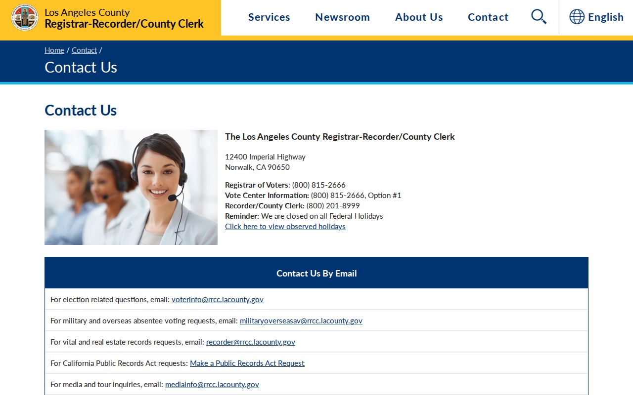
The Registrar-Recorder contact route confirms that voter questions belong with the county office and its permitted access channels, not a neighborhood roster.
Duarte Community Contacts, Not Rosters
Community organizations can help a person learn about public events, local history, and civic contacts around a block. They do not create a public right to private member lists. The research found public-facing organizations and historical networks, but no verified citywide master HOA or neighborhood-association directory.
| Organization or Layer | Public Material | Appropriate Access |
|---|---|---|
| Duarte Historical Society and Museum | Photographs, exhibits, publications, local-history knowledge | Advance contact; volunteer research setting |
| Friends of Duarte Library and Duarte Library | Research help, newspapers, county databases, volunteer network | Branch or library contact |
| Duarte Chamber of Commerce | Public business members and contacts | Business directory, not residents |
| Duarte Unified School District | Public staff, school pages, historic yearbook leads | Public information; student records protected |
| Monrovia-Duarte Black Alumni Association and civic groups | Public programs and history connections | Public event or contact material only |
The Duarte Historical Society is a research contact, not an HOA roster. Use a public board or event address when available, and never imply that an organization must release private member information.
Duarte Zoning and Campus Context
Parcel use changes how “neighbor” should be read. A hillside parcel, a Huntington Drive property, and a City of Hope campus parcel can sit near one another while serving very different roles. The Duarte zoning map and Development Code help describe land-use designation and planning rules. They do not identify residents or owners beyond whatever separate record is public.
For a block history, combine zoning context with assessment parcel, recorded map, permit file, and historic street section. For a current contact, use only a public organizational contact or a consent-based route. A workplace, school, church, or civic address is not a person's home address.
Note: Geography explains a block's shape and use, while a people record must still be checked with its own custodian.
Duarte Historic Neighbors by Number
The Monrovia Heritage Room's incomplete 1908 through 1971 city and telephone directory run can provide a historic neighbor layer when a volume contains a street or reverse section. Scan house numbers in order, copy named adults or businesses, then confirm each entry in the alphabetical section. Combined titles may be cataloged under Monrovia or Monrovia-Arcadia rather than Duarte.
Verified combined years include 1924, 1925, and 1928, while standalone Duarte listings include 1937, 1939, 1944, and 1948. Newspaper runs from 1886 through 1992, with gaps, can add obituaries, moves, permits, and local news. A historic neighbor entry is time bound and may omit children, boarders, renters, recent movers, or people who did not respond.
The city directory collection itself is described on the Duarte city directory page. The neighbors workflow borrows its street-number view to understand an older block, not to recreate the full historical shelf.
Duarte Permit History by Parcel
Duarte's City Clerk can be asked for an existing permit file when it is not already in the Laserfiche Document Center. Give the exact address, AIN if known, approximate date, project type, and owner or applicant clue. A focused request may return an application, issued permit, plan-card chronology, inspection signoffs, and certificate of occupancy, subject to plan-security or copyright limits.
A March 2025 cultural-resource study documents consultants receiving subject-property permits through the City Clerk and using them to confirm alterations. That is useful block history: a project can explain why a parcel looks different or why a named applicant appears in public records. It is not evidence that every person near the project lived there.
Use the Duarte public-records route for city files and the California Public Records Act for an identifiable existing record. A request should not ask the city to create a list of neighbors.
Duarte Neighbor Lookup Privacy Limits
Voter data, DMV information, utility and delivery customer lists, Safe at Home addresses, protected court categories, and private community rosters remain outside an ordinary block lookup. California's Safe at Home program provides a substitute mailing address and forwarding service for qualifying participants. A public map cannot override those protections.
| Official block source | Commercial neighbor-tool category |
|---|---|
| Assessor map and parcel detail with a stated legal or assessment role | Mixed feeds that may be stale, merge households, or blur owner and occupant |
| City, court, voter, or library custodian with its own access rule | Aggregated results that point away from the underlying custodian |
| Public community contact or consent-based connection | A listing that does not create permission to contact or monitor a person |
Lawful use. Duarte neighbors research is for understanding parcel context, public civic contacts, family history, and ordinary safety awareness. Do not use address records to stalk, harass, intimidate, threaten, or harm a person. Public availability never creates permission for surveillance or repeated unwanted contact.
California Government Code section 7922.530 addresses prompt access to identifiable public records on payment of direct duplication cost or a statutory fee. It does not require an agency to produce protected personal data or build a new neighborhood directory. The current prompt-access statute is a records-access rule, not a people-search shortcut.
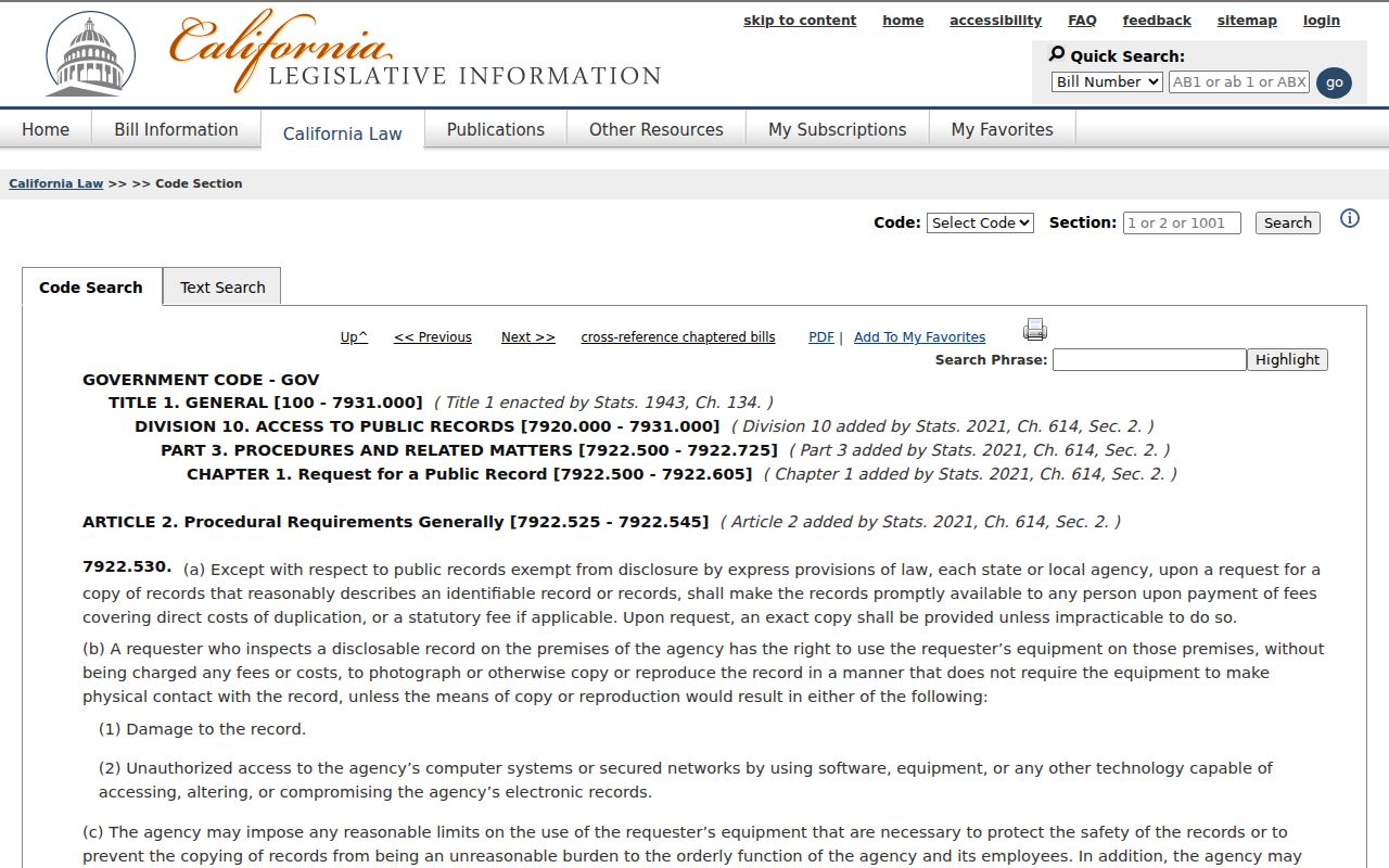
The statute view reinforces the boundary between a request for an existing public record and a demand for private household information.
Note: A good neighbor lookup ends with a clear map of public context and a clear line around private people.